Unlocking Bombo Quarry – a new basalt climbing area? We need your help to make it happen.

Potential new basalt climbing- have your say by August 31st

Have you ever climbed on basalt columns? The majority of NSW climbers spend most of their time on sandstone- and opportunities for basalt climbing in Australia are limited. Although basalt is wide spread in Australia, columnar basalt, the best form to climb on, is not common in Australia. In NSW the finest columnar basalt, at Sawn Rocks in Kaputar National Park, is a major tourist attraction and climbing is not permitted. Climbing on columnar basalt occurs in limited areas at Ebor and Bombo (and pitch 20 of The Camel at Mt Banks in the Blue mountains). Now, there is the possibility to secure and preserve a large area of columnar basalt at Bombo for climbing generations to come, but we need you to act before the 31 August and broadcast your support for this opportunity. 

What is proposed: The quarries west of the Princes Highway are closing and the area is to be repurposed for housing and recreation. Detailed plans are not out yet, but the concept design suggests some of the quarry will be infilled and the remaining quarry walls may be “battered”, which can involve angling them away from the vertical.

What climbers would like to see: at present it appears that there are multiple walls of solid columnar basalt around 15m high that would provide an amazing recreational climbing opportunity and create a major climbing destination. Development of such a recreational opportunity would require planning before closure to preserve sites of suitable orientation and stability for climbing. Planning for drainage, access and hazard minimisation is also required in the closure phase to ensure safe access to cliff faces and boulders. There are well qualified climbers with backgrounds in geology, environmental science and geotechnical engineering who could provide advice as to the considerations required to create a unique and valued climbing opportunity. Large blocks could also be used to create bouldering opportunities.

Other things to consider: 

  • History of Climbing in the Bombo area: the old quarry, to the east of the highway was developed for climbing in 1980/81. NSW’s first grade 27, Hangman, was put up here by Geoff Weigand. Unfortunately, a sewerage outlet was then built in front of the best wall, blocking access. Roped climbing and bouldering does still occur without formal recognition in the Geological heritage area close to the ocean and has had a resurgence in popularity.
  • Re-purposing quarries: precedents exist in the re-use of quarries for recreational climbing. These provide valuable recreational amenities in urban environments. Examples include Albury Quarry in NSW, Kangaroo Point in Brisbane, Waterworks Quarry and Freuhuf Quarry in Hobart, Mountain Quarry and Statham Quarry in Western Australia. 
  • The NSW government has an open spaces policy that recognises and embraces the need for adventurous play for all ages. “Adventurous play refers to unstructured and free outdoor physical play activities that push boundaries and involve an element of risk”. To read more about this, click here
  • If you want to reference the NSW Governments Adventurous spaces insights report 2023 you will find it here

For further information on providing feedback and other information click below.

FEEDBACK | Unlocking Bombo

To see some of the proposed plans for the redevelopment:

Please take a few minutes to email a submission.
If you live in the area consider copying in the Council CEO, Jane Stroud at  council@kiama.nsw.gov.au 
and the local state member, Gareth Ward kiama@parliament.nsw.gov.au

ACANSW’s 5 year activity update

0th July 2024
By ACA President NSW

ACANSW Inc became incorporated in 2019. Our primary aim is to advocate and promote responsible and sustainable access to outdoor rock climbing areas in NSW, although we also contribute to access submissions and discussions for other climbing areas in Australia and overseas as required.

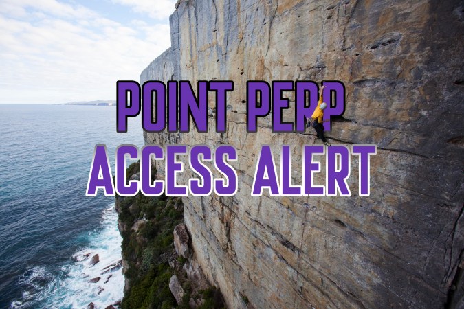
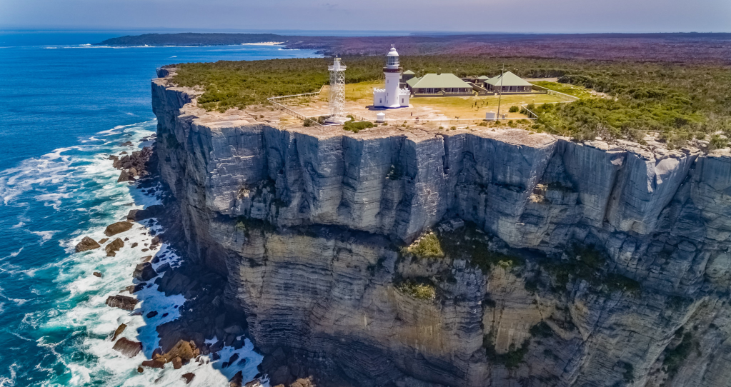
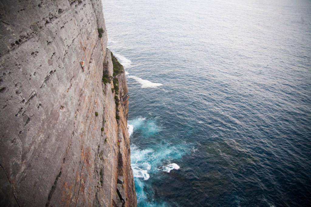
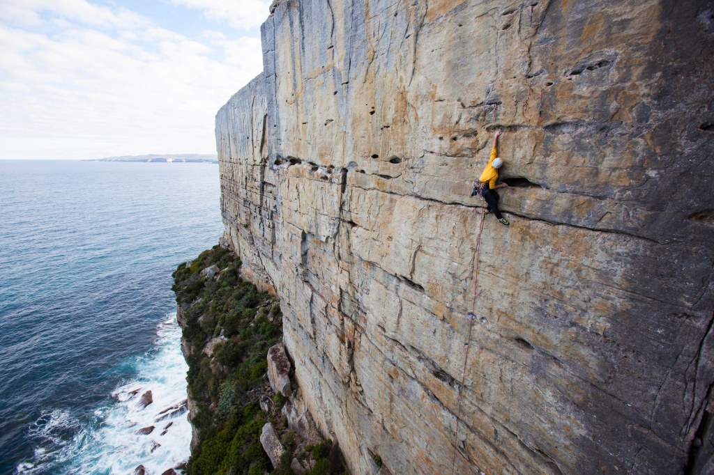
Unlike states to the south and the north, the organisation was not formed in response to a crisis, which has its advantages, but means that mobilisation of climbers to join and participate in an access organisation can be challenging. The two most prominent campaigns we have been involved with include the response to an SBS story about climbing at Thompsons Point and the slow reduction in access at Point Perpendicular. However, there is a lot going on behind the scenes.

Partnerships/memberships and supporters

The Sydney Rockclimbing Club and ACANSW have a Memorandum of Understanding so that all SRC members belong to ACANSW. We are members of Outdoor NSW, which helps provide a conduit to Government. We have also interacted with many other outdoor recreational clubs and groups, environmental groups and industry.

Structure of ACANSW

ACANSW is based on regional coalitions that can deal with local issues and network with local land managers, as well as a statewide group that deals with statewide issues and legislation. In reality, a small core group of climbers in each region do most of the access work and crag care organisation, and more help is always welcome. There has been little time to allocate to marketing and membership, and we are now aiming at improving this by firstly changing the membership system to Membership Jungle.

A lot of time is spent compiling submissions. For example, production of a reasoned and appropriate submission can take a minimum of 10 hours of research and work.

Submissions

We have put in many submissions over the past 5 years. Submissions may deal with many things, including:

  • Legislation that may impact outdoor recreation and access
  • Plans of management (PoM) for natural reserves such as National Parks, State conservation areas, Forestry areas, council managed crown land
  • Recreational strategies and natural spaces strategies
  • Closure plans for mines and quarries that have suitable cliffs or boulders

Most of our submissions have furthered climbing access. Most people don’t realise that if climbing is not included in a PoM for a national park or state conservation area in NSW then it is not permitted. These PoM are meant to be revised every 10 years, but many are 20–30 years old and don’t mention climbing, or forbid it, most likely due to litigation concerns that predated a change in the Civil Liability Act NSW in 2002 which reduced liability to land managers from people involved in inherently risky activities such as rock climbing.

Even if there is only climbing potential in a quarter of the more than 800 NPWS reserves, that is a lot of submissions to complete. Furthermore, councils are now required to produce plans of management for council managed reserves and crown land.

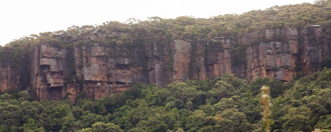
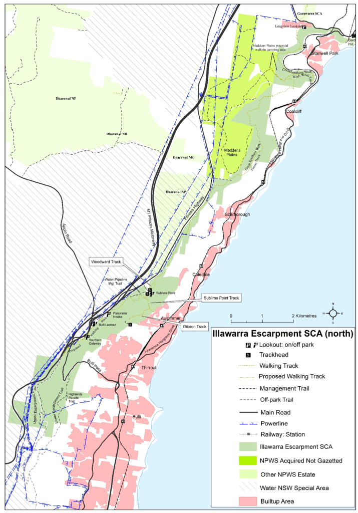
To date we have provided input for the following NPWS PoM, often at multiple levels of consultation: Blue Mountains and Kanangra Boyd NP, Ku ring gai Chase NP, Gardens of Stone SCA and Gardens of Stone NP, Tomaree NP, Bouddi NP, Royal and Garrawarra NP, Dorrigo-Binderay NP, Arakoon SCA and Hat Head NP, Glenrock SCA, Wollemi NP, Illawarra Escarpment SCA, Lane Cove NP, Ben Boyd/ Beowa NP, Radiata Plateau/ Ngula Bulgarabang RP, Wollemi NP. 

Where the PoM have been finalised, in all but the case of the Royal National Park climbing has been recognised, often for the first time, or expanded. For instance, we secured an amendment for the Illawarra Escarpment to permit climbing in areas other than Mt Keira, when it had previously been banned. Climbing was included in Bouddi NP and at Tomaree Head for the first time. The possibility of climbing at areas other than Barrenjoey in Ku ring gai Chase is now open, and we will set up a working party to move forward with this. One of the challenges awaiting us is that several new plans mention that climbing management plans or a consent process for bolting will be developed. This is something we believe needs to be aired widely amongst climbers, particularly route developers. Despite prompting, we have been unable to make inroads with this to date.

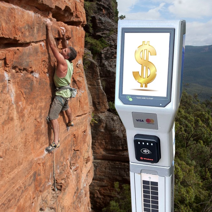
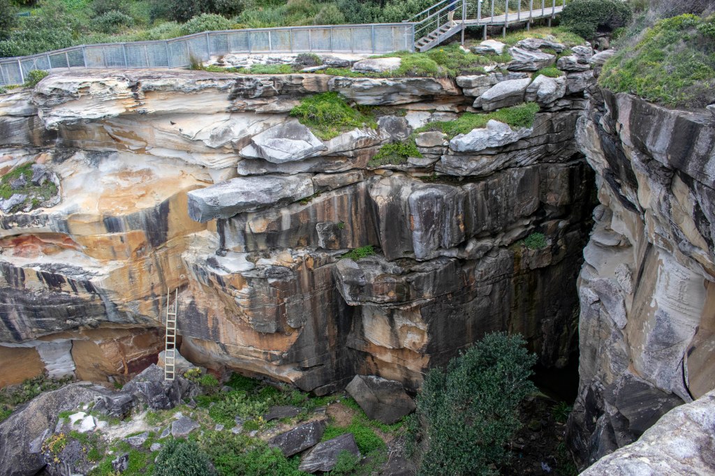
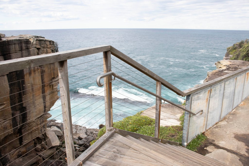
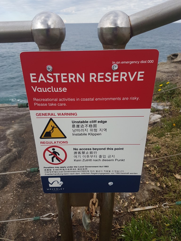
Other state relevant submissions include Wingecarribee Shire Council (Mt Gibraltar and Natural Areas strategy i.e. Mt Alexandra), Waverly Council (sea cliffs), Lake Macquarie Council natural areas strategy (a Burnley style outdoor facility), Blue Mountains council (matters ranging from escarpment plans through to parking meters), Great Western Highway alignment to prevent a viaduct over Centennial Glen, Glen Innes Council (climbing at Stonehenge and other areas) and Crown Land Act submissions.

We have growing recognition as stakeholders and have attended outdoor NSW conferences and workshops and have worked with NPWS stakeholder planning meetings and met with other council land managers.

Education and Stewardship

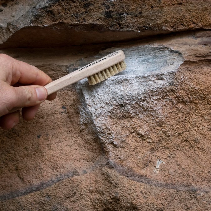
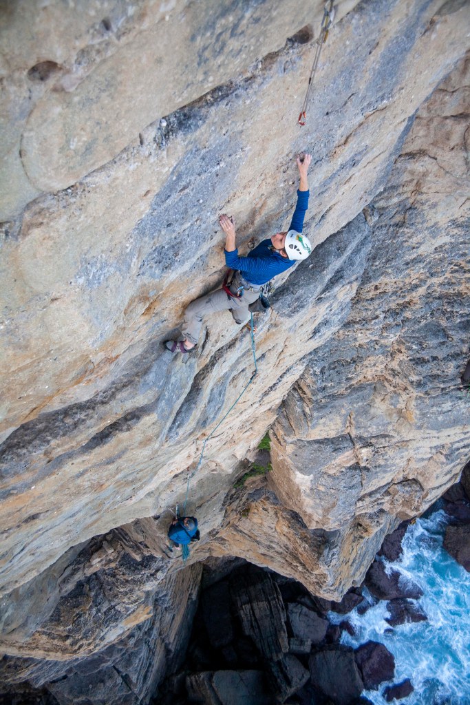
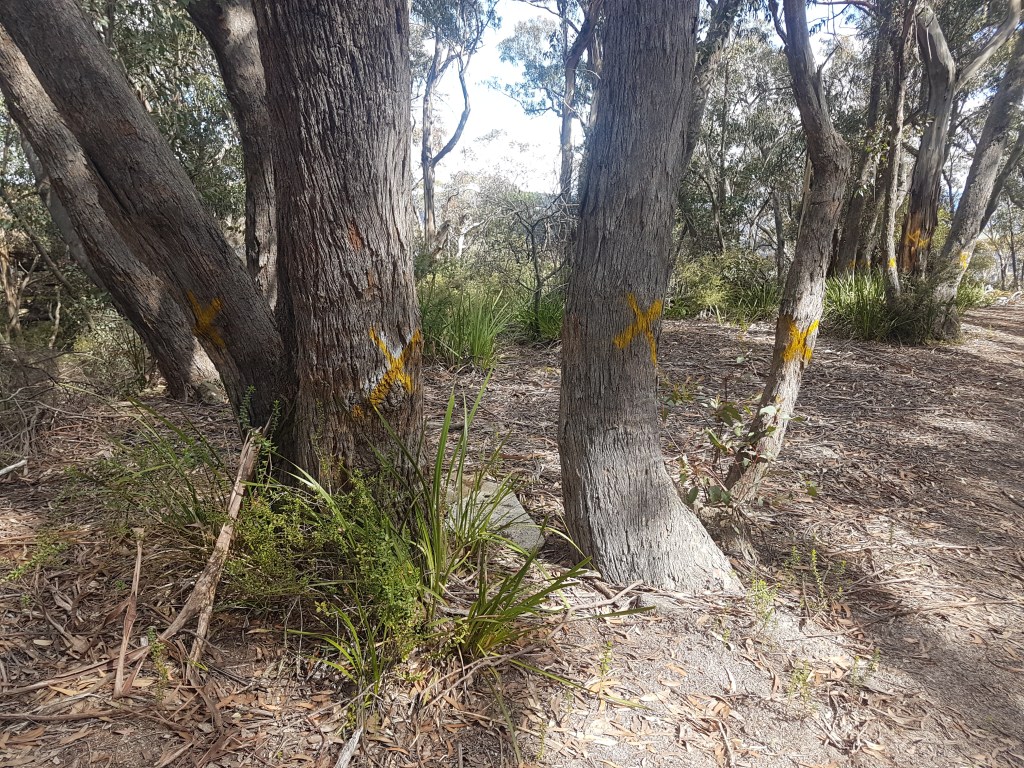
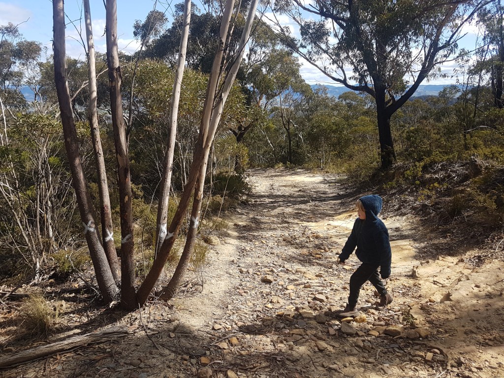
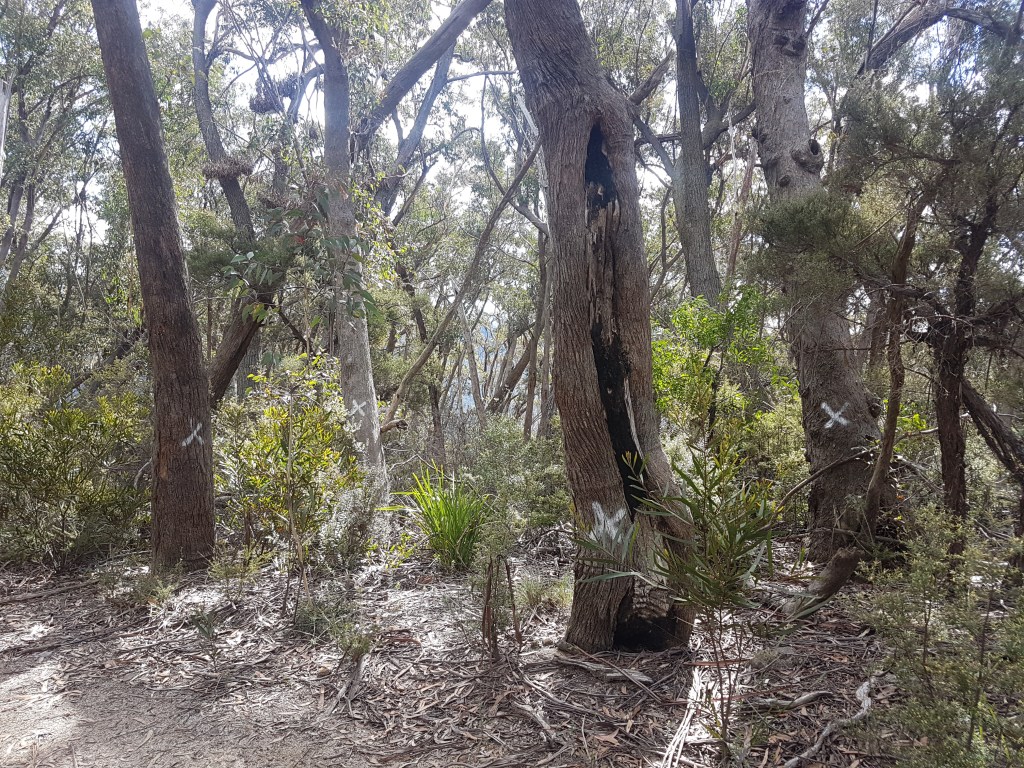
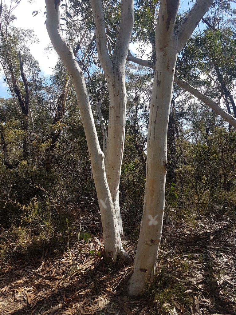
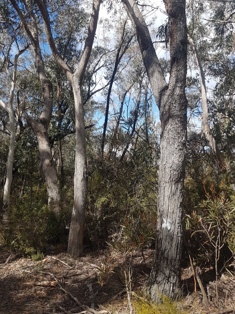
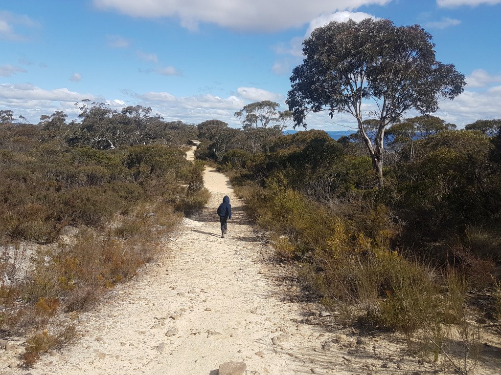
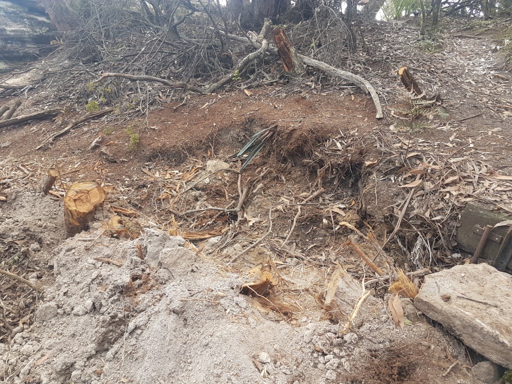
We also try and encourage crag stewardship and good crag etiquette through education and regional crag care events and trackwork. Blue Mountains, Hunter and Central Coast and Shoalhaven/Nowra have active crag care programmes. Our successful Conservation and Culture Forum in the Blue Mountains in 2020 covered the importance of Aboriginal Cultural heritage, land manager perspectives, birds, plants, chalk, poo and crag care. We have also written about similar matters in climbing media, had appearances at climbing events and helped with conservation projects eg rock wallaby surveys or lizard surveys at Kaputar. There is great opportunity to expand and further publicise these aspects, and we would love someone to take on the role of statewide crag stewardship with the aim of improving fundraising, securing project grants and growing this aspect.

Your membership fees help cover the annual cost of registration and system requirements for incorporation, for doing surveys and AHIMs searches when required, providing signage, parking designation and track care equipment for crags that exist on private land and more importantly will help build a fund to support legal advice when required.

As a long term aspiration, we can look to coalitions in the USA whereby Conservancies and climbers act together to purchase and preserve escarpments for shared ecological preservation and climbing amenity.

Parking meters to be installed at Sublime Point – we need YOUR help to fight this decision

[Update 23 Jan 2024 – ACANSW has had two positive meetings with Blue Mountains City Council about the new Parking restrictions in the Blue Mountains. We have strongly advised the Council that the pricing structure of $12/hour or $$38/day is not viable for the rock climbing community. They have also received many messages from the climbing community (thanks!). There is no longer a need to send them any more feedback – they are fully across the issues and working to try and solve them. We are hoping that some pricing changes will be forthcoming – but this won’t happen immediately. Stay tuned for further updates.]

Blue Mountains City Council have installed expensive time limited parking meters at Sublime Point carpark. They also plan to do the same at Narrow Neck Lookout and Katoomba Falls carpark. This is on top of recently installed parking meters at Boars Head and the expansion of parking meters around Echo Point.

Continue reading

Northern Sydney climbing needs YOUR help!

Ku-ring-gai Chase National Park has a new plan of management (POM) in the works – and National Parks is looking for ways to improve it. Why is this important? This National Park not only contains the popular northern Sydney climbing area of Barrenjoey, it’s also home to great deep water soloing at Jerusalem Bay, two roped crags of Kalkiri and Planet Clare plus a myriad of bouldering locations such as Jurassic Park, Akuna Bay, Challenger, Three Star Threes and Temple of Doom. This is a really diverse mix of climbing styles in a convenient location to many of us – but there is one major problem.

Most of these climbing areas are to be prohibited according to the recently released draft plan of management. The fact is this new plan does not include any climbing areas outside of Barrenjoey Headland – it’s all off-limits. This is our chance to tell National Parks we value the other cliffs and boulders in this region. If climbers don’t have their say then a great climbing opportunity for current and future generations will be missed.

Public comment on the draft plan closes this coming Tuesday 22 November. We need your help to change this draft.

What is a plan of management?
A plan of management directs the management of Ku-ring-gai Chase National Park. The plan includes a scheme of operations consistent with section 72AA of the National Parks and Wildlife Act 1974. Once the plan is adopted, no management operations can be undertaken that are not consistent with the plan and its scheme of operations. To be blunt – once this plan is in place it may be decades before it can be changed again (the previous plan is 20 years old).

What does this mean for climbers? 
At present the only designated area for climbing is the existing area on Barrenjoey Headland. While this is good, this area is difficult to access for most people, and there is significant bouldering, roped climbing and deep water soloing potential throughout Kuring gai Chase National Park. Many of these areas would need assessment, reequipping and formalisation of access, but many areas are close to existing trails and have no registered Aboriginal sites near by so climbing seems feasible and consistent with National Park values.

Why is climbing not included? 
This is a good question. It seems the key issue is that National Parks are unwilling to MANAGE climbing. The reasons stated are not mentioned in the draft plan, but are revealed in an accompanying planning document (p 48):

“Rock climbing, bouldering and abseiling often occur in places where there is high potential for Aboriginal sites, including rock overhangs. If not properly managed, these activities can damage Aboriginal cultural heritage, rare plants and fragile rock features such as caves and outcrops. The creation of multiple tracks between the top and bottom of cliffs and disturbance of cliff-nesting bird species can also be a problem.” 

In the same plan, other recreations such as horse riding trails and mountain biking are given extensive consideration with new tracks and trails being developed. A recreational strategy document for the park had significant climbing input in 2019 by ACANSW (and many local climbers) yet the planning document and draft PoM make no pretense at management and reflects an unwillingness to manage a community that has demonstrated its ability to assist in stewardship of cliff environments and a desire to learn about and respect Aboriginal cultural heritage.

How can I help? 
Climbers need to write their own submission and email to npws.parkplanning@environment.nsw.gov.au by 22 November. Not tomorrow, not next week – we need your submission sent today!

Key points to mention are: 

  • Despite significant climber input to the draft recreational strategy, no further climbing opportunity has been provided to climbers in this draft plan with climbers only permitted at the long established area at Barrenjoey Head.
  • The draft PoM fails to consider recreational opportunities for rock climbing when high quality and suitable areas for recreational rock climbing exist.
  • There is a long history and invested culture of climbing in Kuring-gai Chase NP
  • Climbing should be given the same consideration afforded to other recreational activities.
  • Rock climbing is a low impact recreation suited to National Parks that results in appreciation of Parks values.
  • Climbing can coexist with ecological and cultural preservation.
  • Climbers have demonstrated stewardship including within Kuring-gai Chase NP.

If you want to read more about it the 2 documents are linked:

Ku-ring-gai Chase National Park Draft Plan of Management-220452.pdf

Ku-ring-gai Chase National Park Draft Planning Considerations.pdf

Point Perpendicular Closure Access Alert

[update 1 November 2022: the access issues described in the below article have been partially resolved thanks to a massive climbing community letter writing campaign, mainstream media attention and a large community meeting that was held in the town of Currarong with the Defense department top brass. For more info read this ABC news story. More media stories related to this story are end bottom of this page]

This article was first published on October 23, 2022

Public access to world class climbing at Point Perpendicular on the Beecroft Peninsula is under threat due to recent changes to entry procedures and safety concerns from the land manager, the Australian Department of Defence. Anyone who has climbed at Point Perp over the last couple of decades has seen the slow erosion of access to this area year on year – from gates, guards, area closures, night curfews, only weekend access, user number limits and now it appears compulsory inductions and restrictions to all areas outside of the lighthouse enclosure. It is getting to be a bureaucratic nightmare for anyone who wants to visit. To get a glimpse into the endless closures check out their Facebook page.

Point Perpendicular contains over 700 established climbing routes across a vast 80m high cliff-line that stretches 14km along the northern side of Jervis Bay. The majority of routes are single pitch trad and mixed climbs – approached by rapping from the top down to ledge belays and climbing back out again. It is one of the great sea cliff climbing destinations in the world – an international draw card that should be on every climber’s wish list. 

Over 100 routes have been off-limits since the 1990s, when access was removed due to perceived safety risks associated with unexploded ordnance (UXO). A small area (10% of the total park) is used by Defence for testing bombs, missiles and other explosive devices. This is not at any of the current popular climbing areas.

The lighthouse area at Point Perpendicular. Visitors must now stay behind the white fence – climbing is prohibited as of . © A Richardson

This week’s surprise announcement of an access ban to almost the entirety of Point Perp seems to be a rehash of these old concerns around unexploded ordnance. Climbers are not the only target, access is currently denied to any member of the public unless they agree to only stand behind the fence in the lighthouse enclosure and stay away from beaches or other areas in the park. Visitors now have to agree to this in writing and attend a compulsory induction before being allowed entry through the guarded security gates. This induction process needs to be completed every day you visit the site – it is not a one off. Climbers have been turned away in recent days as their activities were deemed not appropriate to the new rules. Imagine Xmas holidays when 100 cars can be lined up to get into the park and each and every one of them has to do a 15 minute personal induction?

Paperwork and permit given out when you attend the induction at the ranger station – at minimum a 15 minute process if no one else is in the queue.

The reason for this recent wholesale closure we have been told is a newly commissioned survey for unexploded ordnance. ACANSW have not been able to find out the timeline for this survey, whether there are plans to sequentially open areas as they are cleared or whether any other user groups were informed of this process. We don’t even know if the cliff face is actually in any danger from unexploded ordnance. Climbers certainly haven’t been communicated with nor has the local community. Other warnings about UXOs already exist and have been considered sufficient for years. 

Post on the Beecroft Weapons Range Facebook page about the closure.

One direct question we have is – why, if the lighthouse precinct is considered safe enough, cannot climbers access the cliffs in that area? Climbers have been safely using this area for decades and these cliffs are no longer in the live firing range. The decision to prevent access to these cliffs seems to be an administrative overreach by an overly cautious land manager. The lack of public consultation, work plans and timelines is disturbing.

The land is under control of the Department of Defence ie federal jurisdiction. We would encourage everyone to email the Federal member for Gilmore, Fiona Phillips MP (fiona.phillips.mp@aph.gov.au), the Minister for Defence Richard Marles (richard.marles.mp@aph.gov.au) and their local federal member outlining: 

  • Their love of recreation, especially rock climbing, on the Beecroft Peninsula and Point Perpendicular.
  • Concerns that access has been progressively diminished over the past few years. 
  • That the current access restriction is excessive, and that the cliffs in the lighthouse precinct be reopened immediately.
  • The induction process is onerous and unnecessary when existing warnings are clear and unambiguous.
  • That the Defence Dept needs to consult with the climbing community via ACANSW on any closures and changes to management plans that would affect access.
  • The Defence Dept needs to publish clear timelines and plans for this UXO survey.
  • And ask what assurances can be provided about ongoing public access.

Thanks for helping to restore climbing access to such a significant climbing area. Contacting politicians and land managers has been a proven and effective way to change our climbing access at several other sites in NSW. The more feedback they get from the general public the better chance we have of changing the outcome.

Enjoy the magic that is Point Perp in the photo gallery below. Don’t let it slip out of reach!

Media Articles

Update 1 November 2022 – Letter writing works! Due to hundreds of emails being sent from ACANSW members to politicians and other recreational user groups (fishing, boating, bushwalking, conservation etc) the media published significant articles and news stories about this issue. Below is a selection of these media stories.

ABC News – Defence denies it plans to block public access to Beecroft Peninsula

ABC News – Defence Department reveals unexploded ordnance to blame for closures at Beecroft Peninsula

WIN News – Public to enjoy Beecroft Peninsula once unexploded ordnance has been removed

Illawarra Mercury [paywall] – What’s going on at Beecroft Peninsula? Rumours of closure quashed by Defence

Daily Telegraph [paywall] – Shock reason climbers fear world class site could close

Outdoors NSW & ACT – Active recreation gets turned away

Illawarra Escarpment – Draft Amendment to Allow Climbing?

In what appears to be a fantastic win for the climbing community – the extensive 13km cliff-line that runs from Bulli Pass north to Stanwell Park is set to be re-opened to rock climbing according to a draft amendment to the Illawarra Escarpment State Conservation Area Plan of Management. This is great news, as this area has some fantastic climbing at crags such at Stonehaven, Coalcliff, Scarborough Cliffs, Whale Watchers Wall, Scarface and Fear Wall. Lush forest, amazing orange rock and exciting multi-pitch routes – both sport and trad – are potentially on offer. There are hundreds of already established routes in this area that came under a cloud a few years ago when a new Plan of Management was applied that effectively banned all rock climbing outside of Mt Keira. This is set to change.

ACANSW representatives met with the land managers a few years back and lobbied for this area to be open as a recreation area for the local climbing community. It appears these meetings may have hopefully given the green light for such a great area to be recognized for it’s climbing.

The relevant rock climbing sections from the draft amendment are:

Promoting recreational opportunities

The escarpment between Bulli Pass and Stanwell Park has a longstanding history of rock climbing. Rock climbing is currently only permitted on the south- and west-facing cliff lines of Mount Keira under the Illawarra Escarpment State Conservation Area Plan of Management, subject to safety and environmental acceptability. An amendment to the plan of management is proposed to provide additional opportunities for rock climbers by allowing rock climbing in areas north of Bulli Pass.

Plan reference: pages 26-27, under Other activities

Rock climbing and abseiling will be allowed on the west- and south-facing cliffs of Mount Keira and north of Bulli Pass. Basic amenities are available near Mount Keira at the Mount Keira Summit Park, and access is provided via the Dave Walsh Track.

New bolts or anchors may not be installed, and park infrastructure such as safety railings may not be used as anchor points as they have not been designed for this purpose.

Locations where rock climbing and abseiling are allowed may be reviewed to address safety issues, risks to visitors or impacts on cultural values or environmental values.

What does this mean for climbers?

In general, this appears to open up 13km worth of cliff to rock-climbing for the Wollongong and Sydney climbing community. These cliffs are so good they will also attract interest from climbers from further afield. This should be applauded.

A ban on new bolts or anchors hampers vital rebolting work – upgrading old and dangerous safety bolts and chains that may have been in place for 30 years or more. ACANSW suggests that there should not be a blanket ban on new bolts – as this will cause significant safety issues in the long term.

The rest of the amendment seems to be focused on allowing huts and other “roofed” structures and commercial operators into the area as part of the Great Southern Walk – a new proposed multi-day walking track in the area. The document allows groups of 40 people to be in a single group (!) and opens up the public land to commercial interests – it’s best summed up in their own words “NPWS may engage commercial operators to provide support services to walkers on the Great Southern Walk. This could include guiding, food and supply drops, facilities maintenance of walker accommodation and hiker pick-up and drop off services.”. This is the same game National Parks have been playing all round Australia – including the infamous Grampians Peaks Trail. ACANSW does not believe this to be in the best interests of future climbing access as these types of glamping “trails” usually come with trail fees and caveats that make it illegal to walk off them – thus shutting down informal access to climbing areas. There will also be land clearing associated with a proposed new Maddens Plains campground, huts and vehicle service roads. This campground is positioned directly above an established climbing area.

Help us to secure our climbing future!

ACANSW has already sent a detailed submission to National Parks – download & read it here [IESCA climbing submission.pdf]. But we still need YOUR HELP to send an individual submission to make sure this draft amendment regarding climbing is confirmed. The more submissions they receive the better chance we have of gaining access to climbing in this area. It doesn’t need to be War and Peace – just write a few sentences letting them know you think allowing rock climbing in this area is an excellent idea and one you broadly agree with. Mention that safety bolts should not be prohibited due to safety risks regarding lack of maintenance to already existing anchors. If you don’t agree with commercial huts then mention this as well.

Submissions close on the 28 October 2022.

You can download the plan at this link.

You can provide your written submission in any of the following ways:

Diamond Bay & Rosa Gully – community feedback required!

Waverley Council is inviting the community to provide feedback on its development application (DA) to upgrade the Clifftop Walkway at Eastern Reserve, Dover Heights and Diamond Bay Reserve. This includes the access to the popular Eastern Suburb’s climbing areas of Rosa Gully, Diamond Bay and Bow Wall. Submissions close this coming Tuesday the 19th October – we need YOUR help to secure climbers access rights into the future.

Among the works proposed in the DA is the creation of four new viewing platforms and the relocation of the existing Diamond Bay viewing platform to “capture coastline views in a safer location”. They also propose replacement of boardwalks and fencing along much of the coastline in this area. Current access to Diamond Bay involves climbing the fence pictured below.

Why does this matter to climbers? Access to climbing areas in this area involves negotiating fences, informal tracks and ignoring signage that appears to state access is not permitted on the cliff side of the fence. There has been continued access issues in recent years, often involving the police or Waverly Council rangers telling climbers they should not be on the far side of the fence. This is despite Council agreeing informally in recent meetings with ACANSW that climbing is a valid recreational activity in this area. A 2002 document detailing some of the past issues with Council and rock-climbing can be found here.

Current signage along clifftop appears to not factor in legal access to cliffs for recreational rock climbers.

What are we asking for? ACANSW wants Waverly Council to factor in the access of climbers to these cliffs into any proposed changes to fencing and signage.

We ask climbers to make a submission about the proposed Diamond Bay development application by emailing dasubmissions@waverley.nsw.gov.au and quoting DA-378/2021.

Key points to make in YOUR submission could be:

I’ve been climbing on the Waverely sea cliffs since…..

This area is an important and popular climbing destination and popular alternative to traveling to the Blue Mountains.

Modern climbing techniques and equipment make climbing a safe activity.

I’m worried about/ have previously been, stopped by rangers or police despite understanding that it was a legal activity.

I’d rather not jump fences and disregard signs to pursue the sport. Could Waverly Council consider climber access points in its construction of the new boardwalk and fence. These might be gates, or signs warning walkers that suitably equipped climbers are only permitted to access the cliff edge.

Waverly Council should discuss specific climber access requirements with the Australian Climbing Association NSW.

Submissions close Tuesday 19 October, 2021.

Mt Piddington – help stop the chop!

Blue Mountains City Council is planning to remove over 60 mature trees along the approach trail to Mt Piddington (the Hourn Point Trail) in the next couple of weeks. Anyone who has climbed there recently will have noticed spray painted Xs and 0s on tree trunks all along the 800m track. An X means total tree removal, and an 0 means limb removal. Of particular note is the planned removal of all trees in the area at the end of the trail just before the rock platform lookout to create a turning circle for trucks.

“the marking of trees and other vegetation on the Hourn Point trail is related to fire trail maintenance and enhancement work as part of Council’s bushfire management program. This will involve pruning or removal of marked trees, as well as the clearance of ground level vegetation within 2m of the trail margins.

Email from Blue Mountains City Council – September 2021

We understand that there may be some need to prepare this section of road for upcoming fire seasons – but the scale of works proposed seems out of step with the important environmental and recreational values of the area – it is a much loved walk for locals and visitors alike.

Every tree in this photo it to be chopped down by the end of September. Picture a bleak helicopter pad.
Their plan would destroy a shady and tranquil area of natural beauty – home to birds, picnickers and of course climbers.
Anything fringing the edges of the trail by 2m will be removed so that large trucks can go down this track.

Write to the Blue Mountains Council and request a stop work order!

They plan to start this work in the next couple of weeks – your help is needed today! We people to write to the BMCC and ask for this work to be restrained to a level that does not do major harm to the environmental and recreational values of the area. Do all these trees really have to be removed? Does there really need to be a major turning spot for trucks at the lookout?

Send complaint letters to:

Peter Belshaw – PBelshaw@bmcc.nsw.gov.au

Matt Chambers, Natural Areas Manager – MChambers@bmcc.nsw.gov.au

Rosemary Dillon, CEO – RDillion@bmcc.nsw.gov.au

Share this page with friends and ask them to send a letter. Join the Hornes Point Action Group on Facebook for the latest news.

Large mature trees – containing hollows for mammals and birds will be removed.
These majestic squiggly snow gums are destined for the chop.
Mature trees, well of the side of the current track, will be removed to create “passing bays” for vehicles.
All this heath vegetation on either side this of track will be removed.
Is this is the future of Mt Piddington?